Kogilu, Yelahanka: Why This North Bangalore Pocket Is in Demand

This Kogilu Yelahanka locality guide is for buyers who know the name but not the neighbourhood. Kogilu sits on the eastern side of NH-44 (Bellary...
This Kogilu Yelahanka locality guide is for buyers who know the name but not the neighbourhood. Kogilu sits on the eastern side of NH-44 (Bellary Road), just north of Yelahanka Old Town and south of the Air Force Station. At its heart is Kogilu Cross, where Kogilu Main Road meets the highway, and most daily trips start or end there. The belt is established rather than speculative, with schools, hospitals and shops already in place.
Living in Kogilu Bangalore means a short, direct run to the airport and a longer but straightforward drive into the city. Kempegowda International Airport is about 22 km north, roughly 30–35 minutes off-peak, while the Hebbal flyover is about 9.5 km south and MG Road around 18 km. Yelahanka Junction railway station sits about 2.5 km from Kogilu Cross, and the Blue Line airport metro is building its Yelahanka station right at the junction.
Kogilu Main Road development has picked up steadily over the past decade. The road runs east from Kogilu Cross towards Bagalur Road and Thanisandra, and schools such as EuroSchool North Campus and New Baldwin International School now line it or sit just off it. Residential communities have filled in alongside, including completed projects like SOBHA Palm Court, a low-density SOBHA address of 294 homes about 0.7 km from the junction.
Daily needs are close. Navya and Sparsh hospitals are within 2 km of Kogilu Cross, The Galleria Mall is about 2.2 km away, and the Yelahanka New Town shopping complex offers a traditional high street a little further north-west. Supermarkets, pharmacies, banks and restaurants cluster around the junction, so most errands take minutes rather than a trip across town.
Schools are a particular strength. EuroSchool North Campus, New Baldwin International School and Podar Global School all sit within about 3 km, while Canadian International School and Mallya Aditi International School are about 3.5 km away. For families, that means short school runs without crossing the busy Hebbal junction every morning. Office access is good too, with Manyata Tech Park and Karle Town Centre about 9 km south and the KIADB Aerospace Park about 21 km north.
The trade-offs deserve mention in any honest Kogilu Yelahanka locality guide. Kogilu Cross is busy at peak hours, and metro construction along NH-44 adds to delays until the line opens. People working in central or south Bengaluru face a long commute. For airport, aerospace and Hebbal–Manyata professionals, however, few neighbourhoods offer this combination of access and everyday convenience.
Related reading: Kogilu Cross Metro Station on the Airport Blue Line: What It Means for Residents and Why Is North Bangalore Growing So Fast? 5 Economic Drivers.
FAQs
Where is Kogilu?
On the eastern side of NH-44, just north of Yelahanka Old Town in North Bengaluru.How far is the airport from Kogilu?
About 22 km by road, roughly 30–35 minutes off-peak.Is Kogilu a developed area?
Yes, it has established schools, hospitals, shops and a railway junction nearby.
Related Articles

Is Bangalore Still a Good City for Property Investment in 2026?
Is Bangalore good for property investment in 2026? For many buyers, the answer remains yes, because the city combines a deep job market, a large...
Namma Metro Phase 2 and Phase 3: How the Network Reshapes Bangalore Property
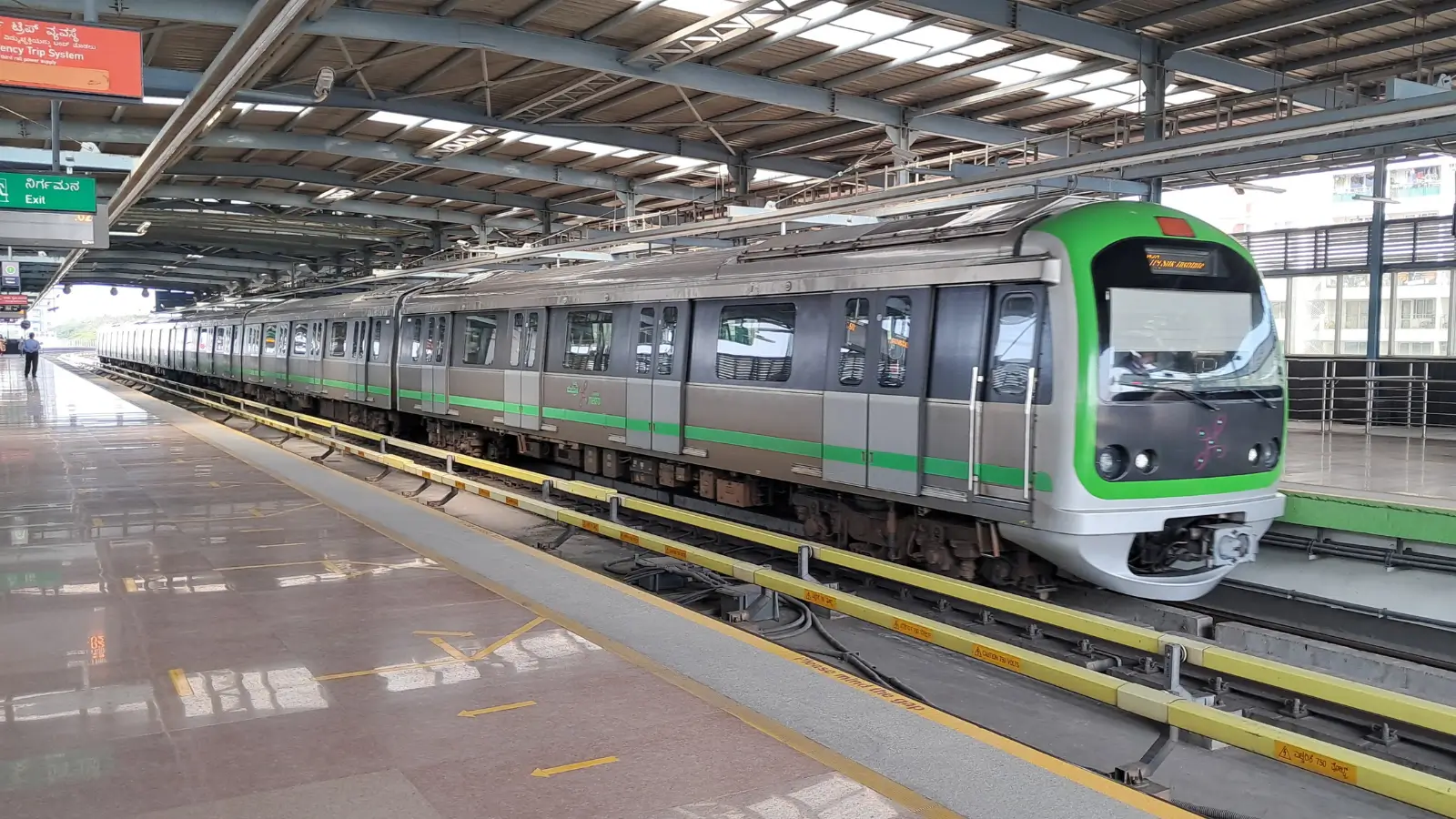
The Namma Metro phase 2 impact on property is one of the biggest questions for buyers across Bengaluru. Phase 2 extends the network into new parts of...

How Does RERA Protect Homebuyers in Karnataka?
How does RERA protect homebuyers Karnataka residents buy from? The Real Estate (Regulation and Development) Act, 2016, and the Karnataka Real Estate...

Karnataka Stamp Duty and Registration Charges 2026: What Changed
Buyers planning a purchase this year often search for Karnataka stamp duty 2026 changes, and the key update dates from August 2025, when the state...